
After Hiraizumi, we traveled East again, heading out to the Eastern Coast to sample the fishing villages and small towns along the Pacific rim of fire. This was one of the most charming pieces of our journey in Japan and all the more ironic because nearly all the places on the coast in this blog were subsequently almost wiped off the map by the great Tohoku earthquake of 2011 and the resulting devastating tsunami that destroyed all the towns along our route. I have included images and links to unique raw videos of the tsunami to make this blog a shrine, both to the peerless scintillating coast line we witnessed, and to the losses incurred by the natural tragedy.


 A peculiar cow shrine
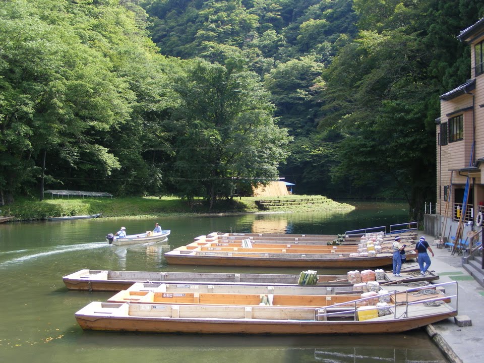
We went briefly to Geibeki gorge, which was a tourist rip off where you have to pay a small fortune to enter it in a row boat while the boatmen sing traditional Japanese songs which echo from the cliffs.

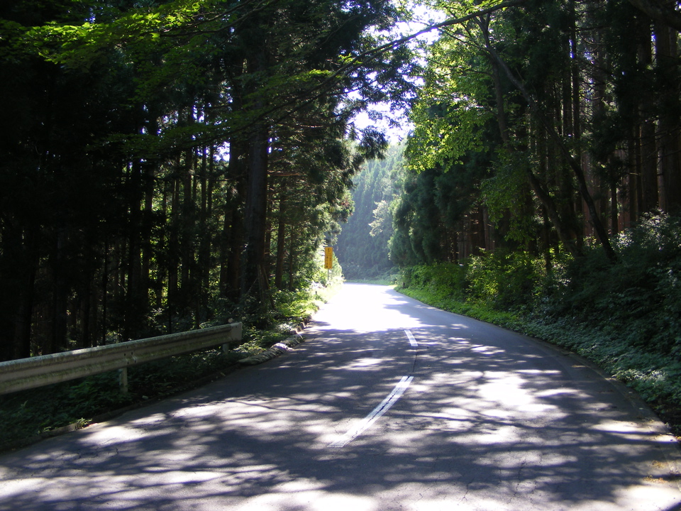
We then passed over the mountains down a somewhat fantastic engineering piece consisting of a spiral of viaducts and tunnels leading out to the East Coast at Rikuzen-takata.


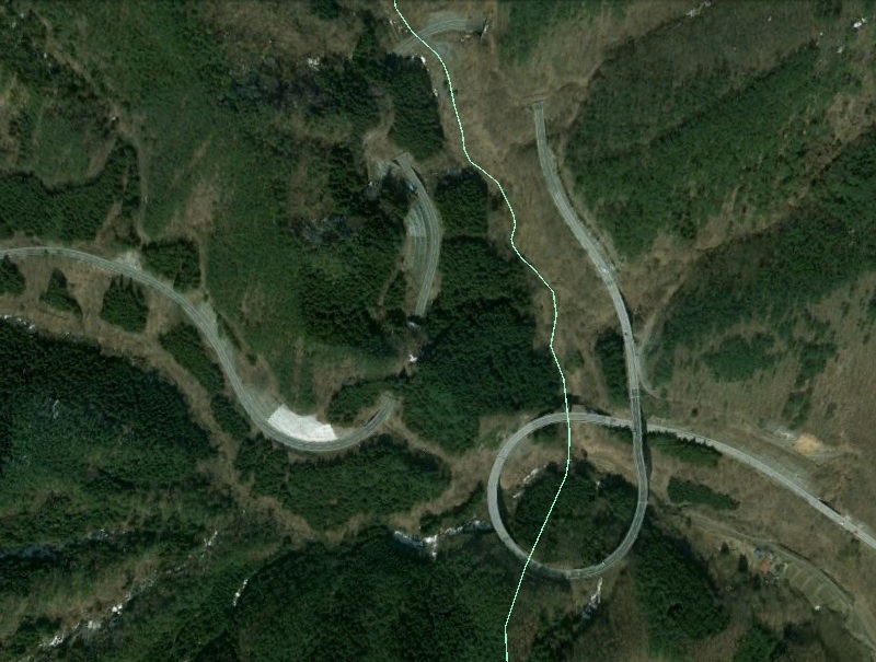


 Map of the coastal loop road between Ofunato and Sanriku
 Using free wireless outside the supermarket at Rikuzen-takata
Here are the first set of videos of the tsunami damage to the towns on the coast. We have done an in depth search to get as many raw videos of each even, many of which are much better coverage than the TV news bulletins at the time. We explore the event at Rikuzen-Takata, Ofunato and Kamaichi which felt the full force of some of the highest tsunami floods from the earthquake.
Three Horrific Raw Videos of the Destruction of Rikuzen-Takata by the Tohoku Tsunami
Rikuzen-Takata 1 Rikuzen-Takata 2 Rikuzen-Takata 3
Three Horrific Raw Videos of the Destruction of Rikuzen-Takata by the Tohoku Tsunami
Rikuzen-Takata 1 Rikuzen-Takata 2 Rikuzen-Takata 3


Here are some images and panoramas of the place where we stopped by the shore at Shimofunato on a little side road, just short of Ofunato.


Next day we wound up the precipitous rocky forested east coast visiting the isolated fishing ports and small towns in brilliant sunshine. We passed by Ofunato and the took a little loop road around the coast through Rikuzenakasaki, Ryori, Koishihama, Horei, and Sanriku (not Minami-Sanriku which is a little further South on the coast) before becoming discouraged from going further north at Kamaishi by the main highway, which strayed away from the coast and bored most of the way on in deep tunnels.
 Internet image of Ofunato before the Tsunami
 The tsunami arrives at the Ofunato shoreline.
 Two views at Ofunato before and after the tsunami
Five Horrific Raw Videos of the Destruction of Ofunato by the Tohoku Tsunami
Ofunato 1 Ofunato 2 Ofunato 3 Ofunato 4 Ofunato 5
 A series of views from the same perspective as the images above
on Ofunato during the Tsunami washing the town clean away


 Views of the bay from Rikuzenakasaki just beyond Ofunato on the cast loop road


 The wild coastline on the loop road


 This is I think Ryori, or possibly Koishihama

 A hill shrine in the town


 Koishihama or Horei


 Sanriku

 1930s Tsunami destruction Sanriku


Beyond Sanriku there were two sweeping deserted bays with sandy beaches

 The fishing breakwater to the right of the above panorama.


 The 1930s tsunami at Kamaichi
 The only image I have been able to find of Kamaishi before the tsunami
Horrific Videos of Kamaishi being Washed away by the Tokuhu Tsunami
Kamaishi 1 Kamaishi 2 Kamaishi 3


 The summit of the pass. Bears frequent the mountain forests
